Parc national du Bic
par Dionne, Marlène
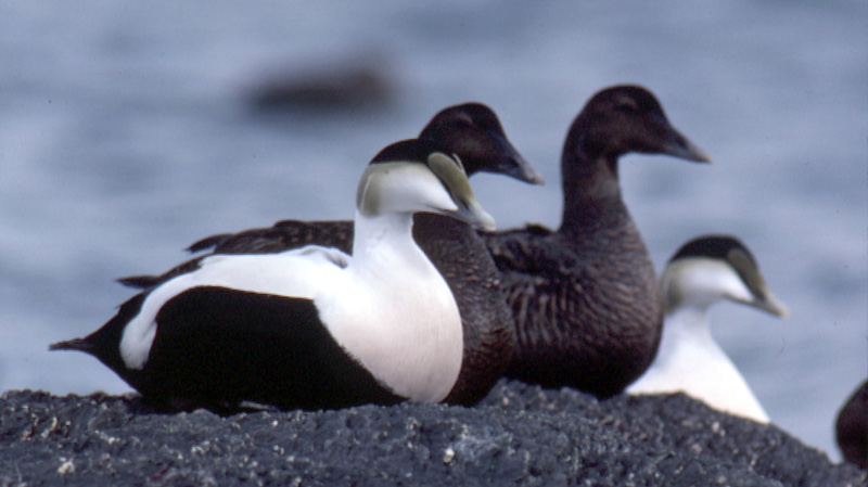
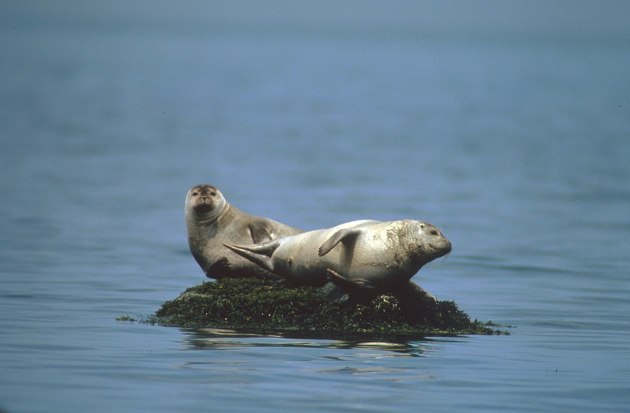
Parc national du Bic is a Quebec national park created in October 1984 to preserve and present a representative sample of the St. Lawrence Estuary’s south shore. Long renowned for its unique and spectacular scenery, the park is home to numerous animal and bird species, including white-tailed deer, red foxes and fishers. Visitors flock to see harbour seals—the park’s emblem—as well as common eider and various birds of prey. And over 744 vascular plants have been catalogued by botanists over the past 100 years, not counting moss and carex. Every year, the park welcomes more than 160,000 people who come to enjoy the breathtaking surroundings and a host of outdoor and discovery activities.
Article disponible en français : Parc national du Bic
Parc national du Bic, a Masterpiece Sculpted by the Sea
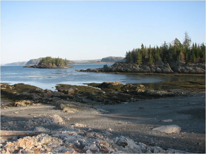
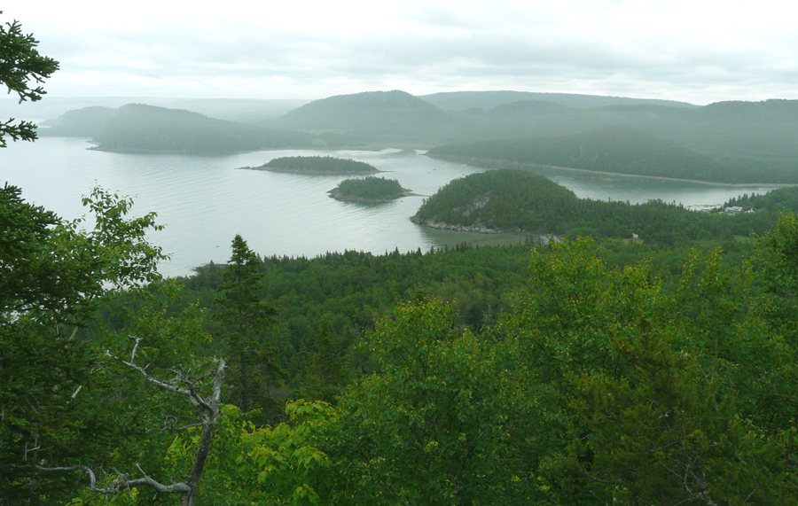
Parc national du Bic is representative of the south shore of the St. Lawrence Estuary, a natural region extending from Montmagny to Sainte-Anne-des-Monts. The area is characterized by rocky ridges that run parallel to the St. Lawrence, ancient marine terraces and saltwater marshes. The park itself covers 33.2 km², 18.8 km² of which is land and 14.4 km² marine areas. Its is bordered to the east by the high water mark at Pointe-aux-Anglais, to the west by Route de la mer leading to Saint-Fabien-sur-Mer and local cottages, to the south by Route 132, and to the north by an imaginary line in the St. Lawrence. Fifty-three percent of the park is mixed wood forest.
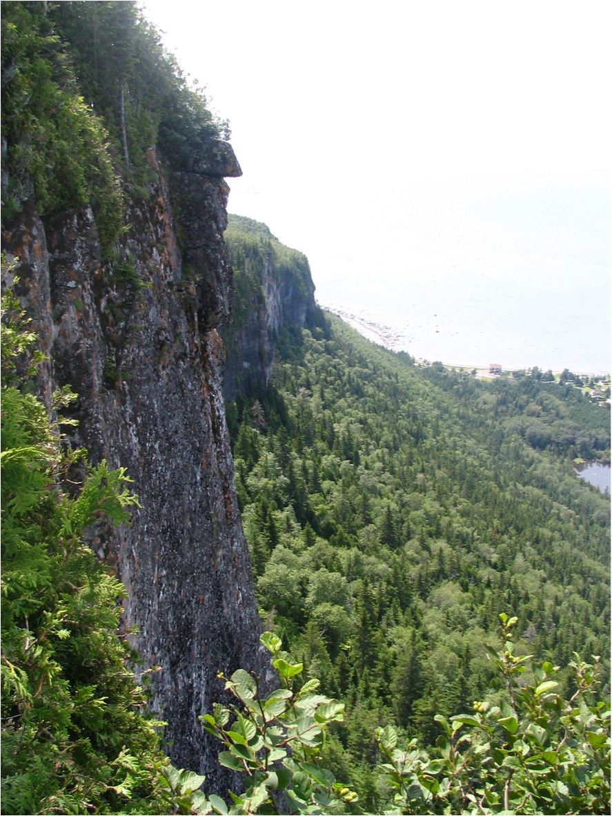
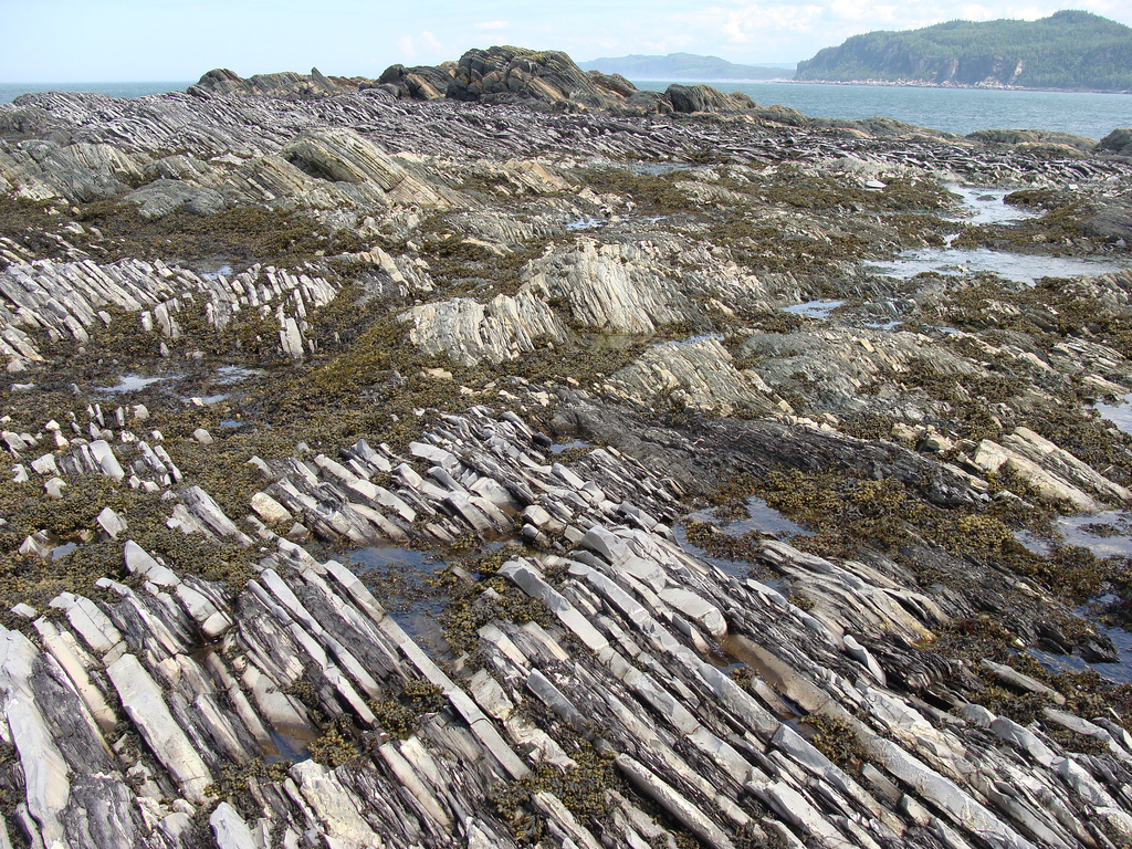
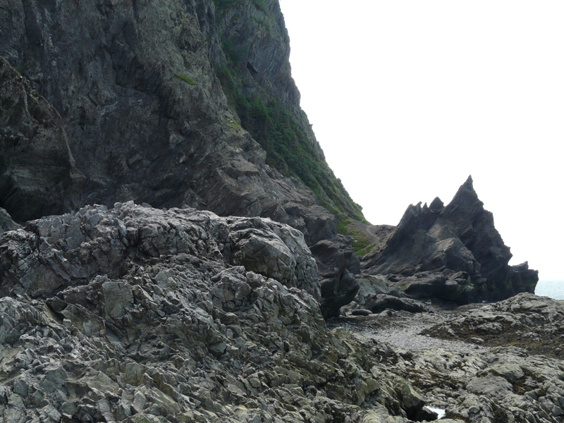
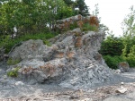
Parc national du Bic is often said to have been sculpted by the sea, with traces of ancient seas, geological movements and glaciation ever present on the landscape. The Appalachians—one of the world’s oldest mountain chains—extend all the way into the park from their run up through eastern North America. The mountainous portion of the park was born during the first phase of the Appalachian formation and is representative of the oldest part of the mountain chain (NOTE 1).
The region as we know it today was forged by glaciers that shaped and leveled off ridges, then scooped out and broadened valleys. During the last ice age 73,000 years ago, an enormous ice sheet blanketed the heart of the province, moving southward as it grew. It covered the Bic area with a layer of ice believed to have been at least 1 km thick and the continent subsided beneath its weight. Then, as the climate warmed again some 14,000 years ago, glacial meltwater inundated eastern Quebec. The Goldthwait Sea—as the resulting body of water was known—rose to 155 m above current sea levels.
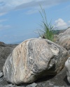
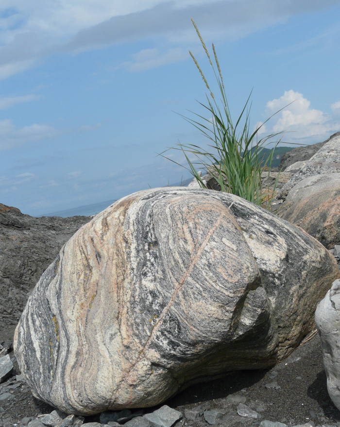
Freed from the weight of the ice, the earth’s crust rebounded in fits and starts. Today traces of age-old beaches created during periods of stability can be observed in the park. Glaciation left behind deposits that took different forms: vast terraces that allowed agriculture to develop, enormous erratic blocks (NOTE 2) like the ones at Anse à l’Orignal, and peat bogs formed by clay deposits at the bottom of depressions.

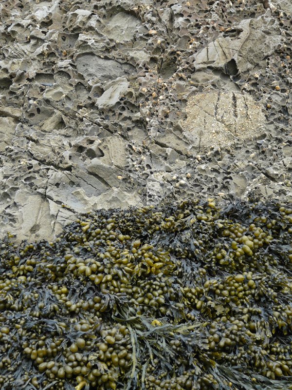
Even today the landscape continues to be shaped by the weather and the relentless ebb and flow of the St. Lawrence Estuary. The shoreline is particularly predisposed to erosion—a phenomenon that takes three main forms: abrasion, dissolution and congelifraction—with waves regularly eating away at the limestone cliffs. Debris is then swept off by currents or ice floes and deposited where the currents slow or the ice runs aground, a process known as sedimentation. Tombolos, beaches, sand spits, tails and other features have all been formed along the park’s shoreline in this way.
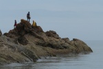
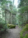
Visitors can take in Bic’s very special topography from a number of trails and viewpoints. The lookout on Pic Champlain—the park’s highest summit at 346 m above sea level—affords stunning views of some of the park’s steep rock faces, known as Les Murailles, and the St. Lawrence Estuary below. The trail to Pic Champlain runs along the rock face and through a maple grove, providing different views of the estuary and Baie du Ha!Ha! Elsewhere, the Pinède trail and lookouts provide splendid views of Anse à l’Orignal and Anse à Mouille-Cul, while the Pointe-aux-Épinettes lookout is a great place from which to observe the changing colours of plant succession in a saltwater marsh.
Human Occupation Inspired by the Surroundings

The site of the present-day park has attracted humans for over 9,000 years with its abundant resources and beautiful surroundings. Aboriginals were the first to use the territory as a summer hunting and fishing grounds. Many centuries later came the St. Lawrence pilots, followed by small farmers who hunted marine mammals, fished for eels and cut wood. Later still, Bic became a summer vacation destination popular for sailing, salmon fishing on Rivière du Sud-Ouest and the call of the great outdoors. Several thousands of years after the glaciers melted, small groups of aboriginals traveling along the St. Lawrence set up stopover points and seasonal hunting and fishing posts on the shores of Bic. After centuries of aboriginal occupation, early European explorers realized that Pic Champlain made an excellent natural landmark for ships sailing upriver, and that the harbour was an excellent anchorage (Jacques Cartier for one stopped there on August 29, 1535.) The navigation tradition lasted for well over a century, with the St. Lawrence pilots using Bic as their base to rendezvous with merchant ships on their way to Quebec City. Later, a handful of pioneers began farming the land and harvesting the sea’s natural resources. And finally, won over by the area’s natural beauty, city dwellers and people from the surrounding region began to build cottages and summer homes there.
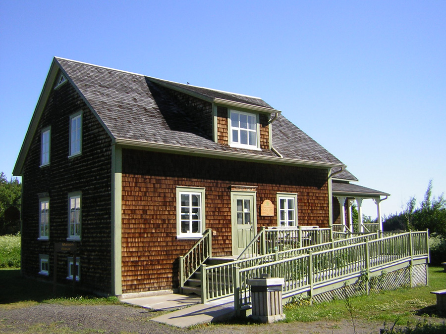
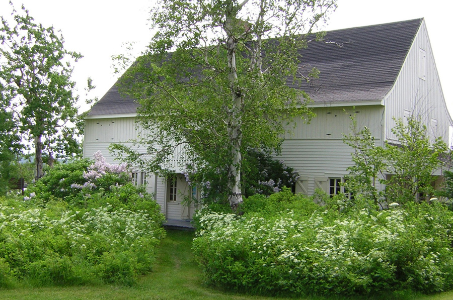
Park visitors can still see traces of the more recent human presence—old buildings belonging to the Rioux farm are now used as service buildings and a few summer homes remain along the park’s loveliest beaches, one of which was recently converted into a tea room.
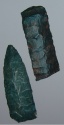
Archaeologists have discovered thirty-odd sites occupied by aboriginal groups at one time or other. The earliest sites were found on the shores of an inlet leading into Rivière du Sud-Ouest, and are thought to have been small camps used for brief periods by nomads. The park contains eight sites associated with the Archaic period (8,000 to 2,500 years ago) (NOTE 3). Signs of the aboriginal presence proliferate (NOTE 4) as of 2,000 years ago. Archaeologists have also located six more recent sites dating back to the late 16th century.
Flora and Fauna
To date 744 species of vascular plant have been catalogued. The park’s floral diversity is amplified by the broad diversity of habitats created by the interpenetration of coast and estuary in an area generously sprinkled with peninsulas and bays, as well as its highly diversified topography and limestone cliffs. Recent inventories show there are 18 rare plant species (NOTE 5) in the park.

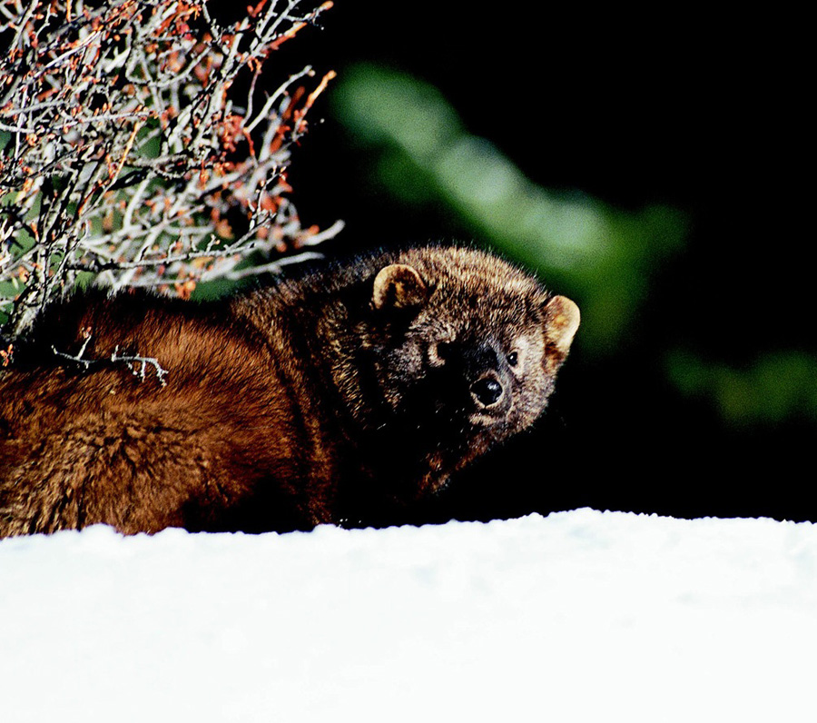
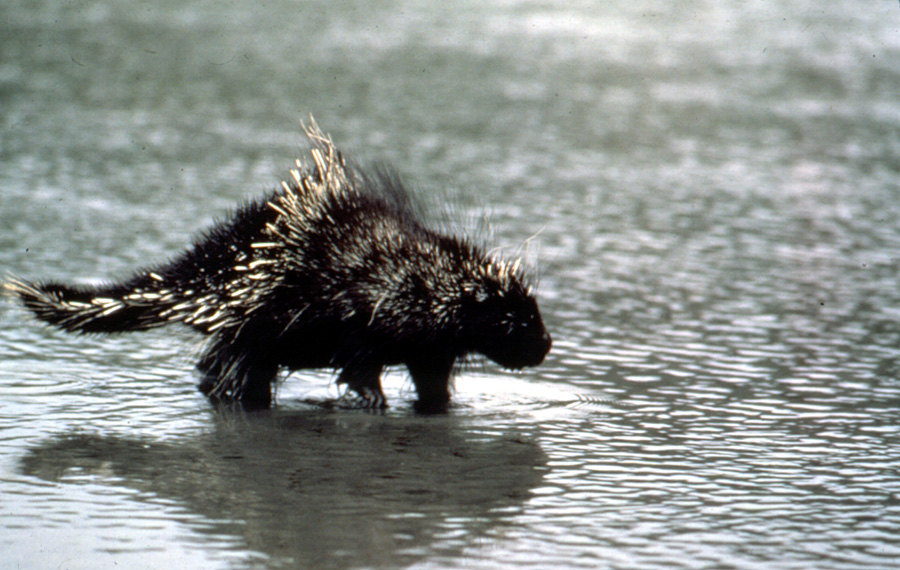
Parc national du Bic is also home to a variety of wildlife. Harbour and gray seals are without doubt the most popular mammals with visitors. The once-thriving American porcupine population has declined since the appearance of a new predator: the fisher. Fishers are members of the Mustelidae family. Short legged and weighing in at 2 kg to 6 kg, they are well adapted to attacking porcupines. With their speed, agility, and powerful bite, they avoid the back and tail of their prey and to go straight for the face and abdomen, which have no quills. Other more common species such as the white-tailed deer, red fox, common marmot and snowshoe hare also call the park home.

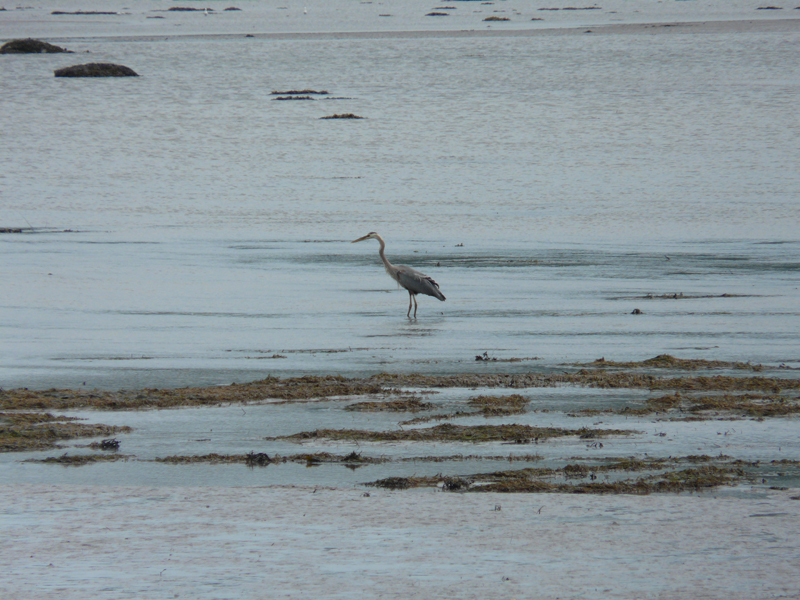
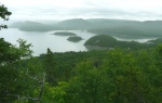
The park also boasts 228 bird species, notably the common eider, which invades local bays and coves every spring to raise its young, the peregrine falcon, which nests on the clifftops, and Nelson’s sharp-tailed sparrow, which nests in a cleared area of the park. The Raoul-Roy lookout is a great place to observe birds of prey on their spring migration. Birdwatchers flock there every year to see red-tailed hawks, sharp-shinned hawks, rough-legged hawks, broad-winged hawks, golden eagles and bald eagles hug the steep rock faces in search of updrafts that will take them ever higher while allowing them to conserve energy. Various fish species are also found in the estuary and the park’s lakes and ponds, while in Rivière du Sud-Ouest, the American eel and Atlantic salmon are closely monitored by Quebec’s Ministère des Ressources naturelles et de la Faune. Finally, 16 species of reptiles and amphibians have been recorded (NOTE 6).
Greater Knowledge, Better Protection
Several species of plants and animals are being monitored or studied at Parc national du Bic. They include the harbour and gray seal, the American eel, the American porcupine, the peregrine falcon, rare or at risk flowers, bog plants and many more. Other projects deal with the area’s ecological integrity (by monitoring rare species and exotic invasive species, for example) and the preservation of trails and campsites.
Park staff provide visitors with information with a view to meeting the objectives set out for Quebec’s national parks: to get individuals involved in helping protect outstanding or representative areas of Quebec’s natural regions for the benefit of current and future generations.
Activities
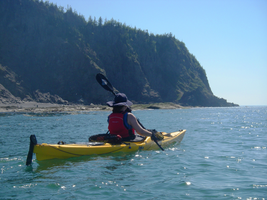
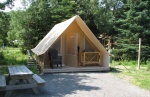
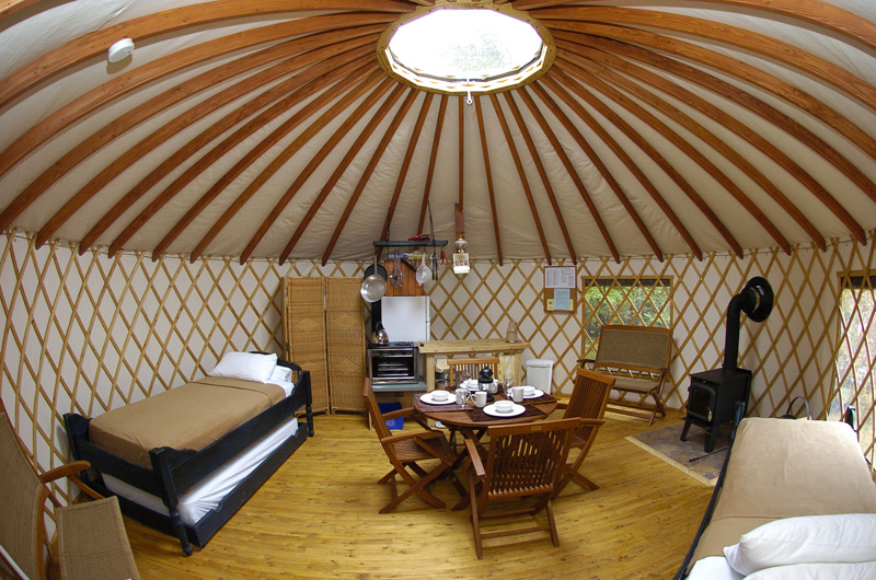
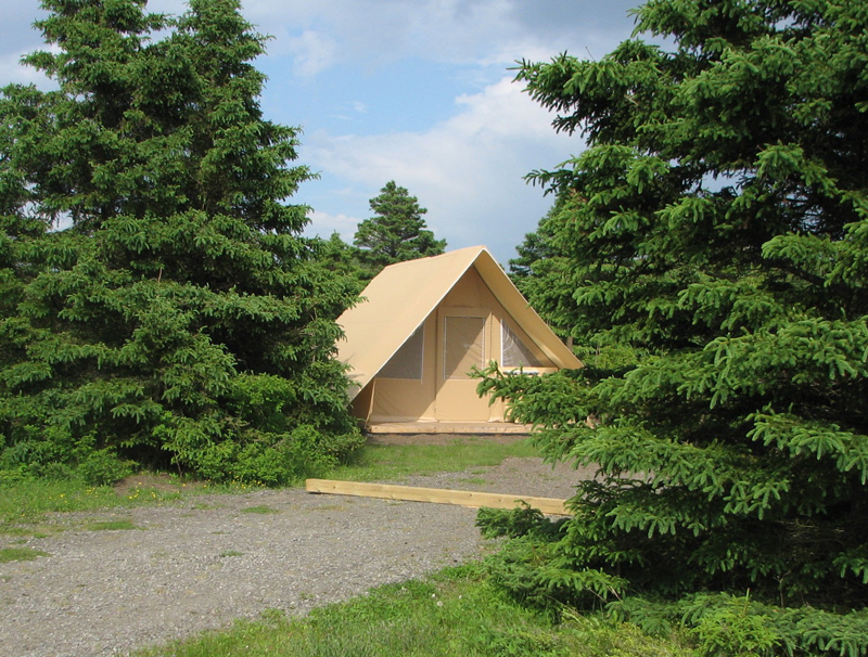
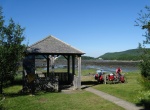
The park is open year round for outdoor and discovery activities like hiking, mountain biking and sea kayaking, as well as camping (including Huttopia tents and yurts). Making visitors aware of the park’s fragile ecosystem is a key part of what park employees do. In the summer a slew of interpretation activities built around the “Moulded by the sea” theme look at topics such as human occupation of the area, the St. Lawrence Estuary, seals, birdlife, local tales and legends, and the tide. Researchers also present their findings to the public in a series of informal talks. The discovery and service centre, along with various interpretation panels, are good places to start for visitors keen to learn more about the park.
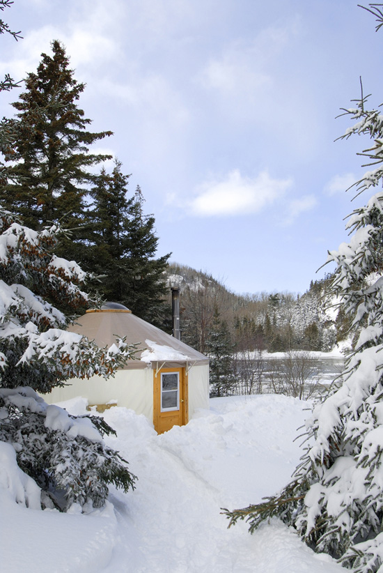
In the winter the park is also open for backcountry skiing, snowshoeing and snow hiking. The “Red Cheeks” program features workshops and outings (winter photography, forest survival and orientation, a full-moon hike with marshmallows under the stars) to add to the visitor experience. Yurt, igloo, hut and winter camping accommodation is also available. In short, any visit to Parc national du Bic is a feast for all the senses. The link between land and sea is everywhere to charm and fascinate visitors.
If you come to stay at the park, take the time to explore its mountains and hills, coves and bays. Close your eyes and feel the sea breeze on your skin, then open them again to bask in the glory of a seemingly endless sunset. Take time out to study the infinitely small—and contemplate the infinitely large. Ask the staff as many questions as you like. Listen and there’s a whole new world to discover.
Marlène Dionne
Head, Conservation and Education Service
Parc national du Bic
NOTES
1. The sedimentary rocks in the park come from sediment deposited at the bottom of a huge depression in the earth’s crust. This subsidence was flooded by an ancient sea where sediment—sandstone, schist, limestone and conglomerate—accumulated over millions of years. The sediment compacted and hardened, then rose upward when the sea retreated. This compression from the southeast led to folding on a massive scale. In addition to the folds, various types of crevasses are also among the phenomena associated with the compression of basement rock.
2. Erratic blocks are relatively large rock fragments that were carried by glaciers, sometimes over huge distances, before being left behind when the glacier melted.
3. The main sites date back to 4000, 3500, and 2500 BP. A summer camp dating back 2,500 years in the cove at Cap à l’Orignal and various other remnants of prehistoric occupations scattered across the bay have been closely studied. Excavations have shown the area to have been frequented by very different cultural groups.
4. Aboriginal campsites associated with the Woodlands period are perched on ancient beaches and date from between 1700 and 1300 BP. Also at Cap à l’Orignal, the 1300 BP camp is thought to have been the first to be inhabited by indigenous residents of the south shore due to the type of tools found there.
5. Such as Adlumia fungosa, Amerorchis rotundifolia, Antennaria howellii ssp.Gaspensis, Botrychium pallidium, some of which are Cordilleran – Erigeron compositus, Woodsia oregana ssp. Cathcartiana, Arabis holboellii var. secunda, Draba aurea, Corydalis aurea ssp. Aurea, Arabis Xdivarecarpa. According to Bouchard et al. (1983), the term “rare” characterizes taxons with weak or localized populations that do not appear to be regressing or under immediate threat, but could very quickly see their environment and population structure endangered if significant pressures arose.
6. These are the wood frog, two-lined salamander, red-backed salamander, yellow-spotted salamander, leopard frog, blue-spotted salamander, American toad, pickerel frog, north frog, green frog, common garter snake, ringneck snake, red-bellied snake, and northern spring peeper.
BIBLIOGRAPHY
Belzile, Louis, Plan d’interprétation – Parc de conservation du Bic, vol 2, 1994 – 1999, Ministère de l’environnement et de la faune, 1995, 211 p.
Forest, J., M. Dionne, Synthèse des connaissances – Parc national du Bic, Parc national du Bic – Sépaq, 200X, XX p.
Fortin, D. et Belzile L., Le parc du Bic, Édition Trécarré, 1996, 89 p.
Imaginature, Le Groupe, Plan de gestion des ressources du Bic. Rapport réalisé pour le Ministère de l’environnement et de la Faune, 1999, 230 p.
Pommerleau, Raymonde, Le plan directeur, parc du Bic, Ministère du loisir, de la chasse et de la pêche, direction de l’aménagement, janvier 1987, 210 p.
Additional DocumentsSome documents require an additional plugin to be consulted
Images
-
 Artefacts amérindiens
datant de mill... -
 Camping au parc du Bi
c -
 Eiders à duvet
-
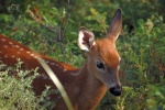 Faon dans le parc du
Bic

-
 L'Anse à Wilson à mar
ée haute -
 L'île aux Canards et
l'île Ronde -
 L’eider à duvet
-
 La maison Lyman, sur
le chemin du No...


-
 Roche erratique situé
e sur la grève... -
 Sentier pédestre
-
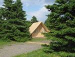 Tente de camping dans
le parc du Bic -
 Terrase

-
 Un escarpement qui té
moigne des part... -
 Un sentier pour vélos
-
 Varech sur le littora
l -
 Yourte en hiver